3
(First entry, p. 24)
1. HISTORICAL SKETCH
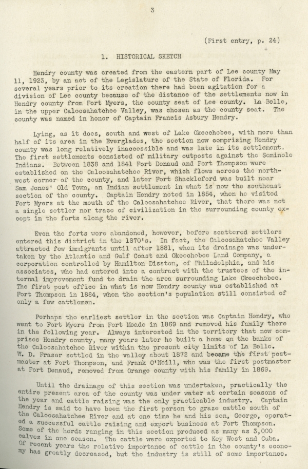
Hendry county was created from the eastern part of Lee county May 11, 1923, by an act of Legislature of the State of Florida. For several years prior to its creation there had been agitation for a division of Lee county because of the distance of the settlements now in Hendry county from Fort Myers, the county seat of Lee county. La Belle, in the upper Caloosahatchee Valley, was chosen as the county seat. The county was named in honor of Captain Francis Asbury Hendry.
Lying, as it does, south and west of Lake Okeechobee, with more than half of its area in the Everglades, the section now comprising Hendry county was long relatively inaccessible and was late in its settlement. The first settlements consisted of military outposts against the Seminole Indians. Between 1838 and 1841 Fort Denaud and Fort Thompson were established on the Caloosahatchee River, which flows across the northwest corner of the county, and later Fort Shackleford was built near Sam Jones’ Old Town, an Indian settlement in what is now the southeast section of the county. Captain Hendry noted in 1854, when he visited Fort Myers at the mouth of the Caloosahatchee River, that there was not a single settler nor trace of civilization in the surrounding county except in the forts along the river.
Even the forts were abandoned, however, before scattered settlers entered this district in the 1870’s. In fact, the Caloosahatchee Valley attracted few immigrants until after 1881, when its drainage was undertaken by the Atlantic and Gulf Coast and Okeechobee Land Company, a corporation controlled by Hamilton Disston, of Philadelphia, and his associates, who had entered into a contract with the trustees of the internal improvement fund to drain the area surrounding Lake Okeechobee. The first post office in what is now Hendry county was established at Fort Thompson in 1884, when the section’s population still consisted of only a few cattlemen.
Perhaps the earliest settler in the section was Captain Hendry, who went to Fort Myers from Fort Meade in 1869 and removed his family there in the following year. Always interested in the territory that now comprises Hendry county, many years later he built a home on the banks of the Caloosahatchee River within the present city limits of La Belle. W. D. Fraser settled in the valley about 1872 and became the first postmaster at Fort Thompson, and Frank O’Neill, who was the first postmaster at Fort Denaud, removed from Orange county with his family in 1869.
Until the drainage of this section was undertaken, practically the entire present area of the county was under water at certain seasons of the year and cattle raising was the only practicable industry. Captain Hendry is said to have been the first person to graze cattle south of the Caloosahatchee River and at one time he and his son, George, operated a successful cattle raising and export business at Fort Thompson. Some of the herds ranging in this section produced as many as 3,000 calves in one season. The cattle were exported to Key West and Cuba. Of recent years the relative importance of cattle in the county’s economy has greatly decreased, but the industry is still of some importance.
4
(First entry, pg. 24)
Historical Sketch
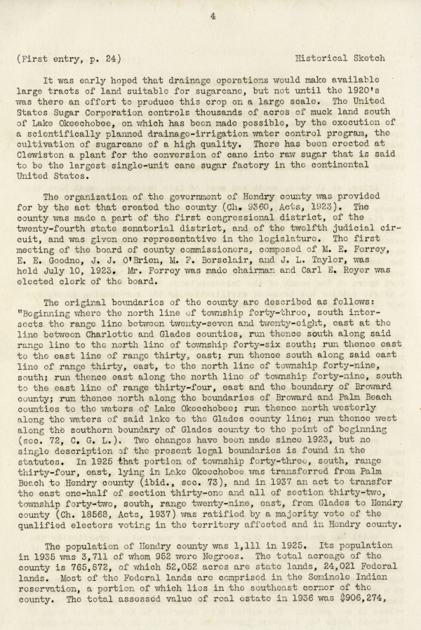
It was early hoped that drainage operations would make available large tracts of land suitable for sugarcane, but not until the 1920’s was there an effort to produce this crop on a large scale. The United States Sugar Corporation controls thousands of acres of muck land south of Lake Okeechobee, on which has been made possible, by the execution of a scientifically planned drainage-irrigation water control program, the cultivation of sugarcane of a high quality. There has been erected at Clewiston a plant for the conversion of cane into raw sugar that is said to be the largest single-unit cane sugar factory in the continental United States.
The organization of the government of Hendry county was provided for by the act that created the county (Ch. 9360, Acts, 1923). The county was made a part of the first congressional district, of the twenty-fourth state senatorial district, and of the twelfth judicial circuit, and was given one representative in the legislature. The first meeting of the board of county commissioners, composed of M. E. Forrey, E. E. Goodno, J. J. O’Brien, M. F. Borsclair, and J. L. Taylor, was held July 10, 1923. Mr. Forrey was made chairman and Carl E. Reyer was elected clerk of the board.
The original boundaries of the county are described as follows: “Beginning where the north line of township forty-three, south intersects the range line between twenty-seven and twenty-eight, east at the line between Charlotte and Glades counties, run thence south along said range line to the north line of township forty-six south; run thence east to the east line of range thirty, east; run thence south along said east line of range thirty, east, to the north line of township forty-nine, south; run thence east along the north line of township forty-nine, south to the east line of range thirty-four, east and the boundary of Broward county; run thence north along the boundaries of Broward and Palm Beach counties to the waters of Lake Okeechobee; run thence north westerly along the waters of said lake to the Glades county line; run thence west along the southern boundary of Glades county to the point of beginning (sec. 72, C. G. L.). Two changes have been made since 1923, but no single description of the present legal boundaries is found in the statutes. In 1925 that portion of township forty-three, south, range thirty-four, east, lying in Lake Okeechobee was transferred from Palm Beach to Hendry county (ibid., sec. 73), and in 1937 an act to transfer the east one-half of section thirty-one and all of section thirty-two, township forty-two, south, range twenty-nine, east, from Glades to Hendry county (Ch. 18568, Acts, 1937) was ratified by a majority vote of the qualified electors voting in the territory affected and in Hendry county.
The population of Hendry county was 1,111 in 1925. Its population in 1935 was 3,711 of whom 952 were Negroes. The total acreage of the county is 765,872, of which 52,052 acres are state lands, 24,021 Federal lands. Most of the Federal lands are comprised in the Seminole Indian reservation, a portion of which lies in the southeast corner of the county. The total assessed value of real estate in 1936 was $906,274,
5
Governmental Organization and Records System
(First entry, p. 24)
of which $267,344 was the assessed valuation of lands under tax certificates, taxes for which were not extended on the tax rolls, and $19,860 was the assessed valuation of homestead exemptions. The taxable assessed valuation of real estate was $619,070.
2. GOVERNMENTAL ORGANIZATION AND RECORDS SYSTEM
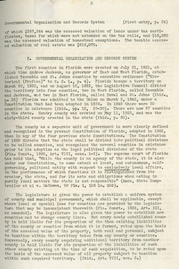
The first counties in Florida were created on July 21, 1821, at which time Andrew Jackson, as governor of East and West Florida, established Escambia and St. Johns counties by executive ordinance (“Historical (Preface)” to C. G. L., p. 4). Florida became a territory on March 30, 1822, and on August 12, 1822, the Legislative Council divided the territory into four counties, two in West Florida, called Escambia and Jackson, and two in East Florida, called Duval and St. Johns (ibid., p. 28). Florida was admitted to the Union on March 3, 1845, under a Constitution that had been adopted in 1838. In 1845 there were 25 counties in existence (ibid., pp. 12, 29-30). There are now 67 counties in the state. Hendry county was created on May 11, 1923, and was the sixty-third county created in the state (ibid., p. 30).
The county as a separate unit of government is more clearly defined and recognized in the present Constitution of Florida, adopted in 1885, than in any of the four previous state Constitutions. The Constitution of 1885 directs that the state shall be divided into political division to be called counties, and recognizes the several counties in existence prior to its adoption as the legal political divisions of the state (Fla. Const., 1885, Art. VIII, secs. 1-2). The supreme court of Florida has held that, “While the county is an agency of the state, it is also under our Constitution, to some extent at least, and autonomous, self-governing, political entity with respect to exclusively local affairs, in performance of which functions it is distinguished from its creator, the state, and for its acts and obligations when acting in purely local matters the state is not responsible” (Amos, State Comptroller et al v. Mathews, 99 Fla. 1, 126 So. 308).
The legislature is given the power to establish a uniform system of county and municipal government, which shall be applicable, except where local or special laws for counties are provided by the legislature that may be inconsistent therewith (Fla. Const., 1885, Art. III, as amended). The legislature is also given the power to establish new counties and to change county lines. But every newly established county is held liable for its proportion of the then existing liabilities of the county or counties from which it is formed, rated upon the basis of the assessed value of the property, both real and personal, subject to taxation within the territory taken from any county or counties. Conversely, every county acquiring additional territory from another county is held liable for its proportion of the liabilities of such other county existing at the time of such acquisition, to be rated upon the basis of the assessed value of all property subject to taxation within such acquired territory. (Ibid., Art. VIII, sec. 3.)


 Listen: The FolkFolk Program
