WPA
HISTORY OF LIBERTY COUNTY
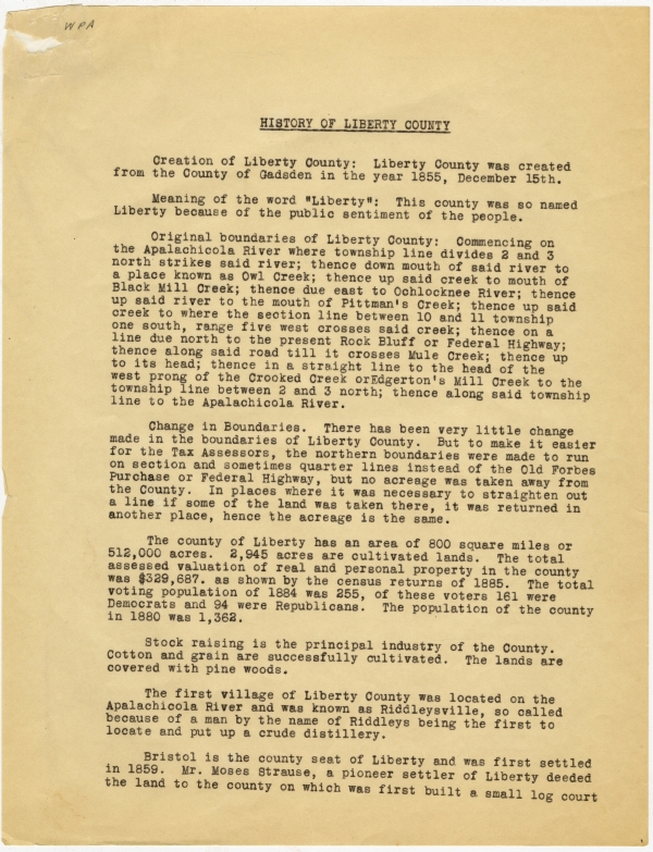
Creation of Liberty County: Liberty County was created from the County of Gadsden in the year 1855, December 15th.
Meaning of the word "Liberty": This county was so named Liberty because of the public sentiment of the people.
Original boundaries of Liberty County: Commencing on the Apalachicola River where township line divides 2 and 3 north strikes said river; thence down mouth of said river to a place known as Owl Creek; thence up said creek to mouth of Black Mill Creek; thence due east to Ochlocknee River; thence up said river to the mouth of Pittman's Creek; thence up said creek to where the section line between 10 and 11 township one south, range five west crosses said creek; thence on a line due north to the present Rock Bluff or Federal Highway; thence along said road till it crosses Mule Creek; thence up to its head; thence in a straight line to the head of the west prong of the Crooked Creek or Edgerton's Mill Creek to the township line between 2 and 3 north; thence along said township line to the Apalachicola River.
Change in Boundaries. There has been very little change made in the boundaries of Liberty County. But to make it easier for the Tax Assessors, the northern boundaries were made to run on section and sometimes quarter lines instead of the Old Forbes Purchase or Federal Highway, but no acreage was taken away from the County. In places where it was necessary to straighten out a line if some of the land was taken there, it was returned in another place, hence the acreage is the same.
The county of Liberty has an area of 800 square miles or 512,000 acres. 2,945 acres are cultivated lands. The total assessed valuation of real and personal property in the county was $329,687. [sic] as shown by the census returns of 1885. The total voting population of 1884 was 255, of these voters 161 were Democrats and 94 were Republicans. The population of the county in 1880 was 1,362.
Stock raising is the principal industry of the County. Cotton and grain are successfully cultivated. The lands are covered with pine woods.
The first village of Liberty County was located on the Apalachicola River and was known as Riddleysville, so called because of a man by the name of Riddleys being the first to locate and put up a crude distillery.
Bristol is the county seat of Liberty and was first settled in 1859. Mr. Moses Strause, a pioneer settler of Liberty deeded the land to the county on which was first built a small log court
-2-
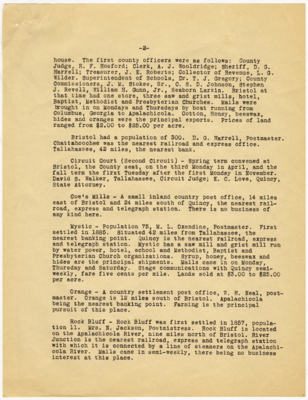
house. The first county officers were as follows: County Judge, R. F. Hosford; Clerk, A. J. Wooldridge; Sheriff, D. G. Harrell; Treasurer, J. E. Roberts; Collector of Revenue, L. G. Wilder. Superintendent of Schools, Dr. T. J. Gregory; County Commissioners, J. M. Stokes, Sr., C. S. D. Johnson, Stephen J. Revell, William H. Gunn, Jr., Seaborn Larkin. Bristol at that time had one store, three saw and grist mills, hotel, Baptist, Methodist and Presbyterian Churches. Mails were brought in on Mondays and Thursdays by boat running from Columbus, Georgia to Apalachicola. Cotton, Honey, beeswax, hides and oranges were the principal exports. Prices of land ranged from $2.00 to $25.00 per acre.
Bristol had a population of 300. D. G. Harrell, Postmaster. Chattahoochee was the nearest railroad and express office. Tallahassee, 42 miles, the nearest bank.
Circuit Court (Second Circuit) - Spring term convened at Bristol, the County seat, on the third Monday in April, and the fall term the first Tuesday after the first Monday in November. David S. Walker, Tallahassee, Circuit Judge; E. C. Love, Quincy, State Attorney.
Coe's Mills - A small inland country post office, 14 miles east of Bristol and 24 miles south of Quincy, the nearest railroad, express and telegraph station. There is no business of any kind here.
Mystic - Population 75, M. L. Oxendine, Postmaster. First settled in 1885. Situated 42 miles from Tallahassee, the nearest banking point. Quincy is the nearest railroad, express and telegraph station. Mystic has a saw mill and grist mill run by water power, hotel, school and Methodist, Baptist and Presbyterian Church organizations. Syrup, honey, beeswax and hides are the principal shipments. Mails came in on Monday, Thursday and Saturday. Stage communications with Quincy semi-weekly, fare five cents per mile. Lands sold at $3.00 to $25.00 per acre.
Orange - A country settlement post office, W. H. Neal, postmaster. Orange is 12 miles south of Bristol. Apalachicola being the nearest banking point. Farming is the principal pursuit of this place.
Rock Bluff - Rock Bluff was first settled in 1857, population 11. Mrs. N. Jackson, Postmistress. Rock Bluff is located on the Apalachicola River, nine miles north of Bristol. River Junction is the nearest railroad, express and telegraph station with which it is connected by a line of steamers on the Apalachicola River. Mails came in semi-weekly, there being no business interest at this place.
-3-
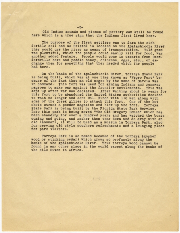
Old Indian mounds and pieces of pottery can still be found here which is a true sign that the Indians first lived here.
The purpose of the first settlers was to farm the rich fertile soil and as Bristol is located on the Apalachicola River they could use the river as means of transportation. Wild game was plentiful, which the people could easily kill for food, was another added feature. People would come in oxcarts from Crawfordville here and peddle honey, chickens, eggs, etc., or exchange them for something that they needed which the people had here.
On the banks of the Apalachicola River, Torreya State Park is being built, which was at one time known as "Negro Fort" because of the fact that an old negro by the name of Garcia was in command. This fort was used for arming Indians and runaway negroes to make war against the frontier settlements. This was kept up after war was declared. After waiting about 1 1/2 years for this fort to be abandoned the United States authorities decided to wait no longer and sent Col. Finch with 116 men along with some of the Creek Allies to attack this fort. One of the hot shots struck a powder magazine and blew up the fort. Torreya State Park is being built by the Florida State Park Service. Into this park is being moved "The Old Gregory House" which has been standing for over a hundred years and has watched the boats coming and going, and rather than tear down and do away with an old landmark, it will be used as a museum in Torreya Park, also for serving old style southern refreshments and a lounging place for park visitors.
Torreya Park is so named because of the torreya (gopher wood or stinking cedar) which grows so profusely along the banks of the Apalachicola River. This torreya wood cannot be found in any other place in the world except along the banks of the Nile River in Africa.
LIBERTY COUNTY
Written Sources:
McCelland's Digest
General Laws of Florida, 1927
Florida State Gazateer and Business Directory, 1886-1887
History and Government of Florida, Brevard.
Persons from whom information was secured:
Mrs. Ross Harris, Quincy, Fla.
Mr. S. I. Revell, Bristol, Florida
Checked with:
Mr. S. I. Revell, Bristol, Florida


 Listen: The Folk Program

