Transcript
(First entry, p. 38)
HISTORICAL SKETCH
Physical Features
Leon County lies in the central part of North Florida. There are two topographically distinct divisions in the county--a northern upland section and a southern area of lesser elevation. The line dividing the two sections crosses the county in a zigzag course from east to west, a few miles south of Tallahassee.(1) The rolling country of the northern section, which lies within the belt of red sandy clay hills of north Florida,(2) contrasts sharply with the level pine lands in the south that are broken only by a few low sand hills and gentle swells. Surface elevations range from 100 to 250 feet above sea level in the north, but probably drop as low as 50 feet in the south.(3)
The only stream of any size is the Ochlockonee River, which forms the western boundary of the county. The entire area apparently at one time was drained by normal surface streams. Its topography has been materially affected, however, by underground solution of the underlying limestone, and the consequent subsidence of overlying materials, which resulted in the formation of numerous lakes and sinks. Drainage is now chiefly by means of underground streams flowing from limestone sinks.(4) The more important of these lakes are Iamonia, Jackson, and Lafayette.(5) An extensive area in the southwestern portion of the county is so level as to be imperfectly drained.(6)
The topographical differences in the two sections of the county are [paralleled] by differences in soils and forests types. The characteristic soil in the hill section is a phosphatic red, loamy clay which, before the days of commercial fertilizers, was the chief agricultural soil in Florida.(7) A more or less loamy deep sand, varying in color and
-------------------------------------------
1. E. H. Sellards and Herman Gunter, “The Underground Water Supply of West-Central and West Florida,” Florida State Geological Survey, Annual Report, 1912, p. 133.
2. E. H. Sellards, “Geology between the Ocklocknee and Aucilla Rivers in Florida,” Florida State Geological Survey, Annual Report, 1917, p. 95.
3. Sellards and Gunter, op. cit., p. 133.
4. Sellards, “Geology between the Ocklocknee and Aucilla Rivers,” pp. 95-96.
5. For a description of these lakes, see E. H. Sellards, “Some Florida Lakes and Lake Basins,“ Florida State Geological Survey, Annual Report, 1910, pp. 53-57.
6. Sellards and Gunter, op. cit., p. 136.
7. Roland M. Harper, “History of Soil Investigation in Florida and Description of the New Soil Map,” Florida State Geological Survey, Annual Report, 1926, p. 37.
2
(First entry, p. 38)
Historical Sketch – Early History
of the Area
fertility according to the amount of clay present, predominates in the south.(8) The red clay hills support a forest growth of hardwoods and loblolly pine, while longleaf and slash pine, with some cypress and scrub oak, prevail in the sandy section.(9)
Weather records kept at Tallahassee from 1891 to 1903 showed an annual mean temperature of 67 degrees Fahrenheit, the annual mean for winter being 53 degrees and for summer 80 degrees. The same records gave an annual mean rainfall of 58.2 inches.(10) Records for 1937 showed a mean temperature of 68.3 degrees, and a total precipitation of 60.79 inches.(11)
Early History of the Area
Leon County is in the center of the region formerly occupied by the [Apalachee] Indians.(12) Hernando DeSoto spent the winter of 1539-40 at an [Apalachee] village thought to have been near the present site of Tallahassee.(13) Franciscan missionaries penetrated the region in 1633, and by 1675 had established at least 13 missions in [Apalachee]. Of these, six have tentatively, and one, San Luis, has definitely, been located within the present boundaries of Leon County.(14) The Franciscans found the Indians, who subsisted principally by agriculture, tractable. By the end of the 17th century each village had its parish church and was protected by a garrison of Spanish soldiers. Nevertheless these peaceable communities suffered greatly from the depredations of the English, French, and Creeks in the early part of the eighteenth century. The remnants of their inhabitants finally migrated to the west about 1783.(15)
In 1808 a band of Creek Indians, led by their chief, Micco Hadjo
--------------------------------------------
8. Ibid., p. 33. See also the Generalized Soil Map of Florida, 1925, accompanying this article.
9. See map of Major Forest Types in U.S., Southern Forest Survey Staff, Pulping and Nonpulping Cordwood Volume in Survey Unit No. 2, Florida.
10. Sellards, “Geology between the Ocklocknee and Aucilla Rivers in Florida,” pp. 90-91.
11. Florida Commissioner of Agriculture, Report of Manufacturing in Florida, 1937, p. 62.
12. John R. Swanton, “Early History of the Creek Indians and their Neighbors,” p. 109.
13. United States DeSoto Expedition Commission, Final Report, pp. 159, 161.
14. See Mark F. Boyd, “Spanish Mission Sites in Florida,” Florida Historical Quarterly, XVII (1939), passim.
15. Daniel G. Brinton, Notes on the Floridian Peninsula, Its Literary History, Indian Tribes and Antiquities, pp. 110, 160.
3
Historical Sketch -
Formation of the County
(First entry, p. 38)
immigrated to Florida from Georgia and settled around Lake Miccosukee.(16) In 1818 General Jackson marched through the region and burned some 300 houses in the Miccosukee towns.(17)
Formation of the County
The act of Congress of March 20, 1822, which established a Territorial government for Florida, provided that the first session of the Legislative Council should be held in Pensacola, but that succeeding sessions should be held wherever the Governor and the Legislative Council might direct.(18) The second session of the Council, sitting in St. Augustine,(19) authorized the Governor to appoint two commissioners to select a permanent seat of government at some point between the Ochlockonee and Suwannee Rivers. The commissioners were to meet at St. Marks on October 1, 1823 for the purpose of examining and exploring the designated area and were to report to the Governor the place selected by January 1, 1824. The third session of the Council was to be held at the new site.(20)
John Lee Williams, then a resident of West Florida, and Dr. W. H. Simmons of St. Augustine, were named commissioners. Meeting late in October 1823 on the Ochlockonee River, near St. Marks, they proceeded eastward. Dr. Simmons, who had made the trip from St. Augustine overland, had already noted that the high lands south of Lake Miccosukee “would form an eligible situation for a town,”(21) a view in which Williams concurred. The exact site selected, as stated in the Governor’s proclamation calling the Legislative Council to assemble there, was “about a mile southwest from the old deserted fields of Tallahassee about a half mile south of the Ochlocknee and Tallahassee Trail, at a point where the old Spanish road is intersected by a small trail running southwardly.”(22)
The Congress, by act of May 24, 1824, granted to the Territory a quarter section of land, to be selected at the new capital site and to
-----------------------------------
16. John T. Sprague, The Origin, Progress, and Conclusion of the Florida War, pp. 18-19.
17. Frederick Webb Hodge, Handbook of American Indians North of Mexico, pp. 860-861.
18. 3 U. S. Stat. 656.
19. Terr. Acts, 1822, p. 14; 3 U. S. Stat. 751.
20. Terr. Acts, 1823, pp. 33-34.
21. Simmons, W. H., “Journal of Dr. W. H. Simmons, Commissioner to Locate the Seat of Government of the Territory of Florida,” Florida Historical Quarterly, I (1908), 33.
22. Quoted from Pensacola Gazette and West Florida Advertiser, Mar. 13, 1824, in Rowland, H. Rerick, Memoirs of Florida, I, 152.
4
(First entry, p. 38)
Historical Sketch –
Formation of the County
be disposed of as the Governor and Legislative Council might see fit for the purpose of raising a fund with which to erect public buildings.(23) The Legislative Council, which met in November 1824 in a log cabin erected for its accommodation by Major Jonathan Robinson, a planter on Little River in the Forbes Purchase,(24) directed that this quarter section, which was the Southwest quarter of section 36, Township 1, North, Range 1, West,(25) should be laid off into a town to be called Tallahassee, and that the lots should be sold at public auction.(26)
At the same session, by act of December 29, 1824, the Council created the county of Leon,(27) which included within its boundaries the new seat of government. The county was presumably named for Juan Ponce de Leon, discoverer of Florida.
Leon County was created from territory taken from Gadsden and Duval Counties.(28) As originally constituted, the county was “comprehended within a line corresponding on the west with the eastern boundary line of Gadsden county aforesaid [i.e., the Ochlockonee River], on the north by the boundary line of the State of Georgia, on the east by the river Suwannee, and on the south by the gulf of Mexico”.(29) The creation of Jefferson county from the eastern part of Leon in 1827 fixed the latter’s eastern boundary approximately as it is today.(30) An act of 1828, creating the county of Call from the northern and eastern part of Leon was vetoed by Governor William P. DuVal,(31) but in 1843 the southern half of Leon County was erected into Wakulla County.(32) Only minor changes have since been made in Leon Country’s boundaries, which were last legally defined as follows:(33) “Commencing at a point where the
------------------------------------------
23. 4 U. S. Stat. 30.
24. Rerick, op. cit., I, 152.
25. George Walton, Acting Governor, to George Graham, Commissioner of the General Land Office, Feb. 16, 1825, Florida Historical Quarterly, I (1908), 29.
26. Terr. Acts, 1824-25, pp. 158-159.
27. Ibid., p. 261.
28. See Terr. Acts, 1823, p. 8. The area between the Alapaha and Suwannee Rivers had been left in Duval County by this act.
29. Terr. Acts, 1824-25, p. 261.
30. Terr. Acts, 1826-27, pp. 151-152.
31. See Terr. Acts, 1828, pp. 223-224.
32. Terr. Acts, 1843, p. 29.
33. In 1933 the eastern boundary of Gadsden County was redefined to extend it in places from the western bank of the Ochlockonee River to the “thread of the stream” of that river (Acts, 1933, ch. 15436, sec. 1; Supp. C. G. L., sec. 21). To this extent the boundaries of Leon County have been changed since they were last defined in their entirety.
5
Historical Sketch -
Formation of the County
(First entry, p. 38)
range line between ranges two and three, east, leaves the Wakulla line at the northeast corner of Wakulla County, thence running north on said range line to the basis parallel; thence in a direction northeast to the point where sections twenty-one, twenty-eight and twenty-nine of township one, range three, north and east corner; thence in a line north to where it intersects the line between townships one and two of range three north and east; thence east on said line to the waters of the Miccosukee; thence up Lake Miccosukee to the south boundary of township three, north, range three, east; thence along said township line to the east line of sections thirty-four, twenty-seven, twenty-two and fifteen in said township to the Georgia line; thence along the Georgia line to the present boundary line of Gadsden County; thence with the eastern boundary line of Gadsden and Liberty Counties to the boundary line of Wakulla County; thence along the northern boundary line of Wakulla County to the place of beginning.”(34)
The act creating Leon County directed the territorial county court to hold its first session in Tallahassee on the first Monday in March 1825.(35) The minutes of the first meeting are not extant. At an adjourned meeting on Monday, March 14, 1825, the court let a contract for the county jail to Daniel Stephens for $285, admitted Adam Gordon to practice law before it,(36) and appointed Hesekiah Myers and Joseph Lane as constables for the county.(37)
The court, as first constituted, was composed of Cary Nicholas, presiding judge, Ambrose Crane, associate judge, and Ede Van Evour, justice of the peace.(38) A. Gordon served as clerk pro tempore until November 7, 1825, when Nicholas assumed that position, Crane becoming presiding judge and Thomas M. Bradford taking his seat as associate judge.(39) On November 11, John G. Robinson assumed a seat on the court as a justice of the peace.(40) The court appointed James Cameron receiver of taxables on April 11, 1825(41) and Augustus B. Woodward county treasurer
---------------------------------
34. R. G. S., 1920, sec. 21; C. G. L., sec. 23.
35. Terr. Acts, 1824-25, p. 252.
36. Other lawyers admitted to practice in the early years of the court were David B. Macomb, Samuel Fry, and Richard C. Allen on Nov. 7, 1825; William A. McRea and Chancey Towler on Mar. 7, 1826; and Richard K. Call and Edgar Macon on Mar. 12, 1827. ([Minutes of Territorial County Court], pp. 9, 15-16, 31, see entry 40.).
37. Ibid., p. 3. Other early constables were Soloman Smith, appointed Nov. 11, 1825, and Joseph R. Lane and A. M. Crews, named the following day (Ibid., pp. 11, 15).
38. Ibid., p. 3.
39. Ibid., p. 8.
40. Ibid., p. 11.
41. Ibid., p. 6.
8
(First entry, p. 38)
Historical Sketch -
Economic Development
The county commissioners seem to have taken such measures as they could to safeguard the records of the county. In 1861 an iron fireproof safe was purchased from New York at a cost of $711.55.(64) In February 1865 the application of a corps of Negro minstrels for the use of the courtroom was refused, "the board being of the opinion that the Archives and Records of the county might thereby be hazarded and that it was not a suitable place for any such exhibitions."(65) The next month, when occupation of the city by Federal troops seemed imminent, the county records were removed to Albany, Georgia, to be "properly stored in that place," although the officers whose records were removed continued to keep their offices in Tallahassee.(66) The records were brought back from Albany early in 1866. (67) In 1877, because of the poor condition of the locks on the clerk's safe, and the isolated position of the courthouse, a night watchman was employed.(68) In spite of this precaution, the courthouse was destroyed by fire on May 19, 1879.(69)
A special meeting of the board of county commissioners was held the next day to consider rebuilding the courthouse. On June 23 the commissioners voted to issue bonds for construction of a new courthouse,(70) but actual construction seems to have been delayed pending a decision as to a building site. In 1881 the City of Tallahassee transferred to the board Washington Square for use as a courthouse site,(71) and 2 years later the present courthouse was erected there.
Economic Development
The act of Congress of May 24, 1824, which granted to the Territory a quarter section of land for the seat of government, also made possible the immediate appointment of a Surveyor-General.(72) Robert Butler, of Tennessee, was appointed to that position and, on July 9, 1824, was instructed to proceed to the place selected for the seat of government and to "cause the southeast corner of the quarter section selected...to be fixed as the point from which the principal meridian and parallel
-------------------------------------
64. Records County Commissioners, vol. C, meeting of Nov. 12, 1861, in Record of Proceedings County Commissioners, see entry 1.
65. Ibid., meeting of Feb. 11, 1865.
66. Ibid., meeting of Mar. 11, 1865.
67. Ibid., meeting of Feb. 10, 1866.
68. Record of Proceedings County Commissioners, 1866-89, p. 293, see entry 1.
69. Ibid., p. 368.
70. Ibid., pp. 370-371.
71. Ibid., pp. 417, 421-422, 478.
72. 4 U. S. Stat. 30.
9
Historical Sketch -
Economic Development
(First entry, p. 38)
shall run.(73) Therefore, the base meridian and parallel for Federal surveys in Florida intersect at Tallahassee.
The Surveyor-General was directed to survey immediately, 20 townships around Tallahassee, with a view to offering the land for public sale as soon as possible.(74) In compliance with this instruction, most of the townships now in Leon County were surveyed in 1824, and 24 townships of land in the county were sold at public auction early in 1825.(75) A Federal survey has never been made in the southwestern part of the county, as that section lies within the Forbes Purchase.(76)
Settlers had not waited for the Federal survey, but started coming into the Leon county area as soon as the capital site had been selected. In April 1824 "the first wagon, with a small party of persons and their effects, arrived on the spot where Tallahassee now stands. It consisted of two men, two women, two children, and a mulatto man."(77) By October of the following year, 20 farms had been opened in the immediate vicinity of Tallahassee,(78) and a contemporary observer estimated that 2,000 persons moved into the county in 1826.(79) Ralph Waldo Emerson, who visited Tallahassee in 1827, noted in his diary that it was a "grotesque place, selected 3 years since as a suitable spot for the Capitol of the territory, & since that day rapidly settled by public officers, land speculators & desperados. Much club law & little other."(80) He conceded, however that the land was rich.
In the spring of 1825 the township of land located on any unsold
------------------------------------------
73. J. M. Armstrong, Acting Commissioner, U. S. Land Office, to Hugh A. Corley, Commissioner of Lands and Immigration, Sept. 26, 1879, Florida Historical Quarterly, I (1908), 31-32.
74. "The First Message of Gov. William P. Duval," Florida Historical Quarterly, I (1908), p. 14. (A reprint.)
75. John Lee Williams, A View of West Florida.... p. 112.
76. The Forbes Purchase, between the St. Marks and Apalachicola Rivers, was a tract of land ceded by the Seminoles and Creeks to John Forbes & Co., 1804-11, in settlement of claims for bad debts and for losses due to Indian raids on the company's trading house at St. Marks. The United States Commissioners for West Florida declared the title invalid, but it was confirmed by the United States Supreme Court in 1835. (James Truslow Adams, ed., Dictionary of American History, II, 299.)
77. Niles' Register, XXIX (Oct. 29, 1825), 130.
78. Id.
79. John Lee Williams, op. cit., p. 88.
80. "Little Journal at St. Augustine, January, February, March, 1827," Florida Historical Quarterly, XVIII (Oct. 1939), 91.
10
(First entry, p. 38)
Historical Sketch -
Economic Development
public domain, which had been granted to General LaFayette by the Congress of the United States in 1824, was selected in Leon County. Colonel John McKee, of Alabama, who had been appointed by President Monroe to make the selection, chose Township one north, Range one east, immediately adjoining Tallahassee. LaFayette, who disliked the plantation system, hoped to establish a free labor community on this grant. In March 1831 a colony of some 50 or 60 French peasants located on a bluff overlooking Lake LaFayette, but the venture was not successful. Most of the settlers soon returned to France or removed to New Orleans. In 1833 LaFayette sold the greater part of the township to three pioneer planters and land speculators, who 5 years later sold the entire concession to the Union Bank.(81)
The fertile lands of Middle Florida acted as a magnet to settlers from the older Southern States, who opened up large plantations which they worked with slave labor. A demand for credit facilities suited to the needs of agricultural economy led in 1833 to the chartering of the Union Bank of Tallahassee, which opened for business in January 1835. Ownership of the bank's stock was restricted to landowning citizens, who were permitted to purchase shares on credit, giving as security 20-year mortgages on their lands and slaves. Stockholders had the privilege of securing loans from the bank to the amount of two-thirds of the value of their holdings. The actual working capital was supplied by the sale of bonds of the Territory,(82) which were to be retired when the stockholders met their mortgages. The Union Bank was practically a Middle Florida institution, and though the majority of its stock was held in Jefferson County, of the 654 white males over 21 years of age in Leon county in 1840, 106 held shares in the bank. The credit provided by the bank inevitably led to speculation and a paper prosperity, but the bubble soon burst. A severe freeze in 1835, the Panic of 1837, and the Seminole Indian disturbances caused a marked deflation of property values on which the credit structure was based, political agitation caused the Territory to repudiate its bonds in 1842, and in 1843 the bank closed.(83)
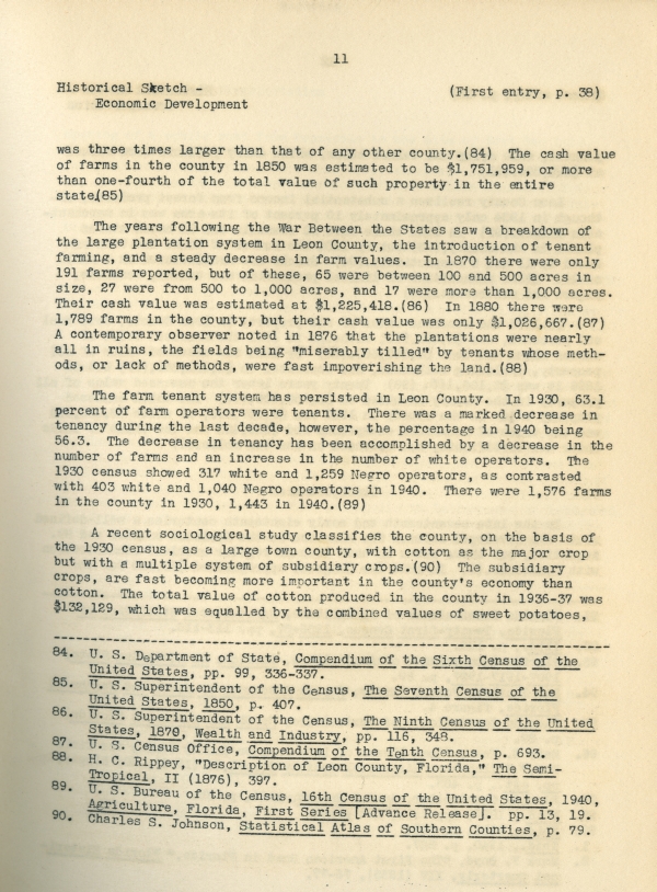
In spite of the economic uncertainties of the late 30's, by 1840 Leon County was the most important agricultural area in the Territory. In that year there were 3,980 persons in the county engaged in agriculture, the staple crop being cotton. Its cotton crop of 5,530,644 pounds constituted 46 percent of all the cotton grown in the Territory, and
--------------------------------------
81. Kathryn T. Abbey, "The Story of the LaFayette Lands in Florida," Florida Historical Quarterly, X (1932) passim.
82. Most of the $2,296,000 of bonds actually sold were marketed in Europe.
83. This account of the Union Bank is based on Kathryn T. Abbey, "The Union Bank of Tallahassee", Florida Historical Quarterly, XV (1937), 207-231.
11
Historical Sketch -
Economic Development
(First entry, p. 38)
was three times larger that that of any other county.(84) The cash value of farms in the county in 1850 was estimated to be $1,751,959, or more than one-fourth of the total value of such property in the entire state.(85)
The years following the War Between the States saw a breakdown of the large plantation system in Leon County, the introduction of tenant farming, and a steady decrease in farm values. In 1870 there were only 191 farms reported, but of these, 65 were between 100 and 500 acres in size, 27 were from 500 to 1,000 acres, and 17 were more than 1,000 acres. Their cash value was estimated at $1,225,418.(86) In 1880 there were 1,789 farms in the county, but their cash value was only $1,026,667.(87) A contemporary observer noted in 1876 that the plantations were nearly all in ruins, the fields being "miserably tilled" by tenants whose methods, or lack of methods, were fast impoverishing the land.(88)
The farm tenant system has persisted in Leon County. In 1930, 63.1 percent of farm operators were tenants. There was a marked decrease in tenancy during the last decade, however, the percentage in 1940 being 56.3. The decrease in tenancy has been accomplished by a decrease in the number of farms and an increase in the number of white operators. The 1930 census showed 317 white and 1,259 Negro operators, as contrasted with 403 white and 1,040 Negro operators in 1940. There were 1,576 farms in the county in 1930, 1,443 in 1940.(89)
A recent sociological study classifies the county, on the basis of the 1930 census, as a large town county, with cotton as the major crop but with a multiple system of subsidiary crops.(90) The subsidiary crops, are fast becoming more important in the county's economy than cotton. The total value of cotton produced in the county in 1936-37 was $132,129, which was equalled by the combined values of sweet potatoes,
---------------------------------------
84. U. S. Department of State, Compendium of the Sixth Census of the United States, pp. 99, 336-337.
85. U. S. Superintendent of the Census, The Seventh Census of the United States, 1850, p. 407.
86. U. S. Superintendent of the Census, The Ninth Census of the United States, 1870, Wealth and Industry, pp. 116, 348.
87. U. S. Census Office, Compendium of the Tenth Census, p. 693.
88. H. C. Rippey, "Description of Leon County, Florida," The Semi-Tropical, II (1876), 397.
89. U. S. Bureau of the Census, 16th Census of the United States, 1940, Agriculture, Florida, First Series [Advance Release]. pp. 13, 19.
90. Charles S. Johnson, Statistical Atlas of Southern Counties, p. 79.
12
(First entry, p. 38)
Historical Sketch -
Transportation
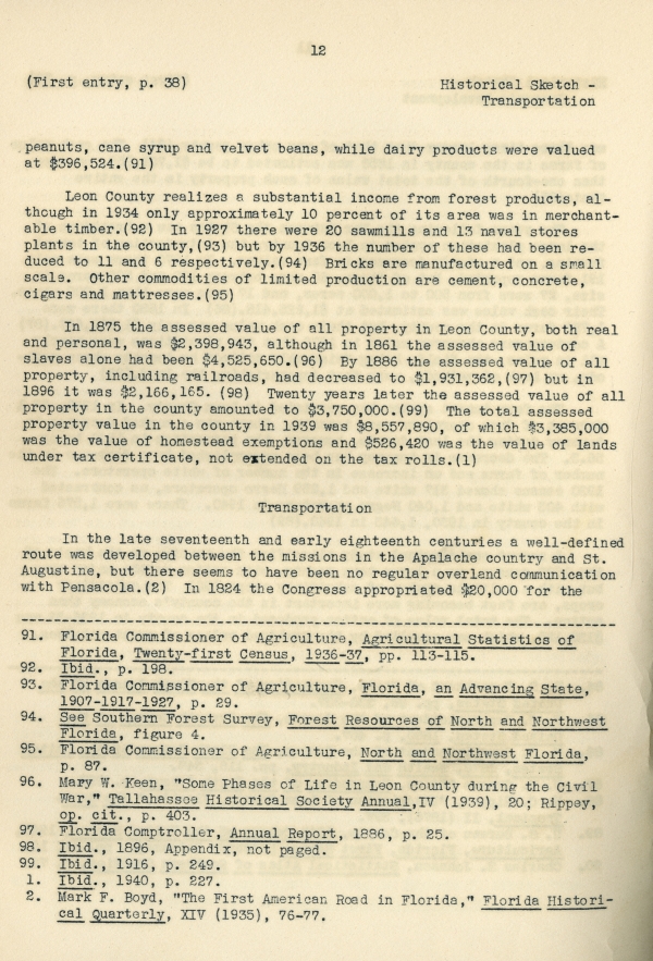
peanuts, cane syrup and velvet beans, while dairy products were valued at $396,524.(91)
Leon County realizes a substantial income from forest products, although in 1934 only approximately 10 percent of its area was in merchantable timber.(92) In 1927 there were 20 sawmills and 13 naval stores plants in the county,(93) but by 1936 the number of these had been reduced to 11 and 6 respectively.(94) Bricks are manufactured on a small scale. Other commodities of limited production are cement, concrete, cigars and mattresses.(95)
In 1875 the assessed value of all property in Leon County, both real and personal, was $2,398,943, although in 1861 the assessed value of slaves alone had been $4,525,650.(96) By 1886 the assessed value of all property, including railroads, had decreased to $1,931,362,(97) but in 1896 it was $2,166,165.(98) Twenty years later the assessed value of all property in the county amounted to $3,750,000.(99) The total assessed property value in the county in 1939 was $8,557,890, of which $3,385,000 was the value of homestead exemptions and $526,420 was the value of lands under tax certificate, not extended on the tax rolls.(1)
Transportation
In the late seventeenth and early eighteenth centuries a well-defined route was developed between the missions in the Apalache country and St. Augustine, but there seems to have been no regular overland communication with Pensacola.(2) In 1824 the Congress appropriated $20,000 for the
-------------------------------------------
91. Florida Commissioner of Agriculture, Agricultural Statistics of Florida, Twenty-first Census, 1936-37, pp. 113-115.
92. Ibid., p. 198.
93. Florida Commissioner of Agriculture, Florida, an Advancing State, 1907-1917-1927, p. 29.
94. See Southern Forest Survey, Forest Resources of North and Northwest Florida, figure 4.
95. Florida Commissioner of Agriculture, North and Northwest Florida, p. 87.
96. Mary W. Keen, “Some Phases of Life in Leon County during the Civil War,” Tallahassee Historical Society Annual, IV (1939), 20; Rippey, op. cit., p. 403.
97. Florida Comptroller, Annual Report, 1886, p. 25.
98. Ibid., 1896, Appendix, not paged.
99. Ibid., 1916, p. 249.
1. Ibid., 1940, p. 227.
2. Mark F. Boyd, “The First American Road in Florida,” Florida Historical Quarterly, XIV (1935), 76-77.
13
Historical Sketch - Transportation
(First entry, p. 38)
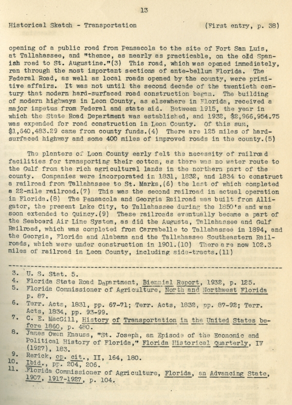
opening of a public road from Pensacola to the site of Fort San Luis, at Tallahassee, and “thence, as nearly as practicable, on the old Spanish road to St. Augustine.”(3) This road, which was opened immediately, ran through the most important sections of ante-bellum Florida. The Federal Road, as well as local roads opened by the county, were primitive affairs. It was not until the second decade of the twentieth century that modern hard-surfaced road construction began. The building of modern highways in Leon County, as elsewhere in Florida, received a major impetus from Federal and state aid. Between 1915, the year in which the State Road Department was established, and 1932, $2,966,954.75 was expended for road construction in Leon County. Of this sum, $1,640,483.29 came from county funds.(4) There are 125 miles of hard-surfaced highway and some 400 miles of improved roads in the county.(5)
The planters of Leon County early felt the necessity of railroad facilities for transporting their cotton, as there was no water route to the Gulf from the rich agricultural lands in the northern part of the county. Companies were incorporated in 1831, 1832, and 1834 to construct a railroad from Tallahassee to St. Marks,(6) the last of which completed a 22-mile railroad.(7) This was the second railroad in actual operation in Florida.(8) The Pensacola and Georgia Railroad was built from Alligator, the present Lake City, to Tallahassee during the 1850’s and was soon extended to Quincy.(9) These railroads eventually became a part of the Seaboard Air Line System, as did the Augusta, Tallahassee and Gulf Railroad, which was completed from Carrabelle to Tallahassee in 1894, and the Georgia, Florida and Alabama and the Tallahassee Southeastern Railroads, which were under construction in 1901.(10) There are now 102.3 miles of railroad in Leon County, including side-tracts.(11)
----------------------------------------
3. U. S. Stat. 5.
4. Florida State Road Department, Biennial Report, 1932, p. 125.
5. Florida Commissioner of Agriculture, North and Northwest Florida, p. 87.
6. Terr. Acts, 1831, pp. 67-71; Terr. Acts, 1832, pp. 87-92; Terr. Acts, 1834, pp. 93-99.
7. C. E. MacGill, History of Transportation in the United States before 1860, p. 480.
8. James Owen Knauss, “St. Joseph, an Episode of the Economic and Political History of Florida,” Florida Historical Quarterly, IV (1927), 183.
9. Rerick, op. cit., II, 164, 180.
10. Ibid., pp. 204, 206.
11. Florida Commissioner of Agriculture, Florida, an Advancing State, 1907, 1917-1927, p. 104.
14
(First entry, p. 38)
Historical Sketch -
Education
Education
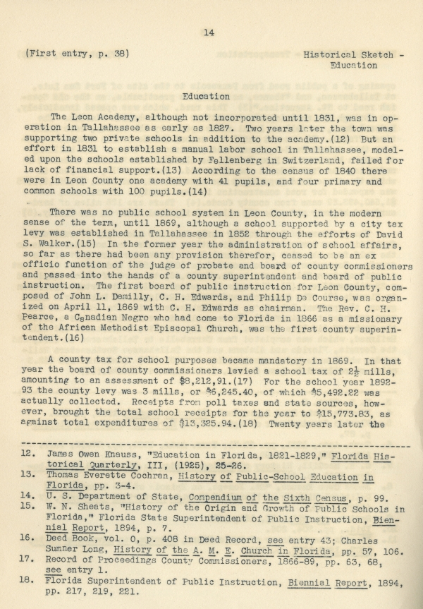
The Leon Academy, although not incorporated until 1831, was in operation in Tallahassee as early as 1827. Two years later the town was supporting two private schools in addition to the academy.(12) But an effort in 1831 to establish a manual labor school in Tallahassee, modeled upon the schools established by Fellenberg in Switzerland, failed for lack of financial support.(13) According to the census of 1840 there were in Leon County one academy with 41 pupils, and four primary and common schools with 100 pupils.(14)
There was no public school system in Leon County, in the modern sense of the term, until 1869, although a school supported by a city tax levy was established in Tallahassee in 1852 through the efforts of David S. Walker.(15) In the former year the administration of school affairs, so far as there had been any provision therefor, ceased to be an ex officio function of the judge of probate and board of county commissioners and passed into the hands of a county superintendent and board of public instruction. The first board of public instruction for Leon County, composed of John L. Demilly, C. H. Edwards, and Philip De Course, was organized on April 11, 1869 with C. H. Edwards as chairman. The Rev. C. H. Pearce, a Canadian Negro who had come to Florida in 1866 as a missionary of the African Methodist Episcopal Church, was the first county superintendent.(16)
A county tax for school purposes became mandatory in 1869. In that year the board of county commissioners levied a school tax of 2 1/2 mills, amounting to an assessment of $8,212.91.(17) For the school year 1892-93 the county levy was 3 mills, or $6,245.40, of which $5,492.22 was actually collected. Receipts from poll taxes and state sources, however, brought the total school receipts for the year to $15,773.83, as against total expenditures of $13,325.94.(18) Twenty years later the
-------------------------------------
12. James Owen Knauss, “Education in Florida, 1821-1829.” Florida Historical Quarterly, III, (1925), 25-26.
13. Thomas Everette Cochran, History of Public-School Education in Florida, pp. 3-4.
14. U. S. Department of State, Compendium of the Sixth Census, p. 99.
15. W. N. Sheats, “History of the Origin and Growth of Public Schools in Florida,” Florida State Superintendent of Public Instruction, Biennial Report, 1894, p. 7.
16. Deed Book, vol. 0, p. 408 in Deed Record, see entry 43; Charles Sumner Long, History of the A. M. E. Church in Florida, pp. 57, 106.
17. Record of Proceedings County Commissioners, 1866-89, pp. 63, 68, see entry 1.
18. Florida Superintendent of Public Instruction, Biennial Report, 1894, pp. 217, 219, 221.
15
Historical Sketch -
Education
(First entry, p. 38)
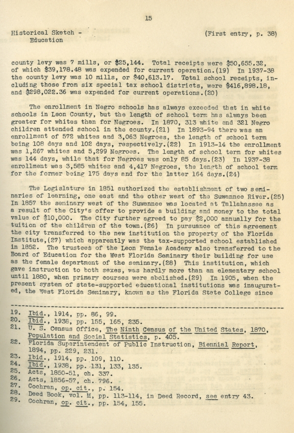
county levy was 7 mills, or $25,144. Total receipts were $50,655.32, of which $39,178.48 was expended for current operation.(19) In 1937-38 the county levy was 10 mills, or $40,613.17. Total school receipts, including those from six special tax school districts, were $416,898.18, and $298,022.36 was expended for current operations.(20)
The enrollment in Negro schools has always exceeded that in white schools in Leon County, but the length of school term has always been greater for whites than for Negroes. In 1870, 313 white and 321 Negro children attended school in the county.(21) In 1893-94 there was an enrollment of 572 whites and 3,063 Negroes, the length of school term being 108 days and 102 days, respectively.(22) In 1913-14 the enrollment was 1,267 whites and 5,299 Negroes. The length of school term for whites was 144 days, while that for Negroes was only 85 days.(23) In 1937-38 enrollment was 3,585 whites and 4,417 Negroes, the length of school term for the former being 175 days and for the latter 164 days.(24)
The Legislature in 1851 authorized the establishment of two seminaries of learning, one east and the other west of the Suwannee River.(25) In 1857 the seminary west of the Suwannee was located at Tallahassee as a result of the City’s offer to provide a building and money to the total value of $10,000. The City further agreed to pay $2,000 annually for the tuition of the children of the town.(26) In pursuance of this agreement the city transferred to the new institution the property of the Florida Institute,(27) which apparently was the tax-supported school established in 1852. The trustees of the Leon Female Academy also transferred to the Board of Education for the West Florida Seminary their building for use as the female department of the seminary.(28) This institution, which gave instruction to both sexes, was hardly more than an elementary school until 1880, when primary courses were abolished.(29) In 1905, when the present system of state-supported educational institutions was inaugurated, the West Florida Seminary, known as the Florida State College since
-----------------------------------------
19. Ibid., 1914, pp. 86, 99.
20. Ibid., 1938, pp. 155, 165, 235.
21. U. S. Census Office, The Ninth Census of the United States, 1870, Population and Social Statistics, p. 405.
22. Florida Superintendent of Public Instruction, Biennial Report, 1894, pp. 229, 231.
23. Ibid., 1914, pp. 109, 110.
24. Ibid., 1938, pp. 131, 133, 135.
25. Acts, 1850-51, ch. 337.
26. Acts, 1856-57, ch. 796.
27. Cochran, op. cit., p. 154.
28. Deed Book, vol. M, pp. 113-114, in Deed Record, see entry 43.
29. Cochran, op. cit., pp. 154, 155.
16
(First entry, p. 38)
Historical Sketch - Organized
Religion; Population Statistics
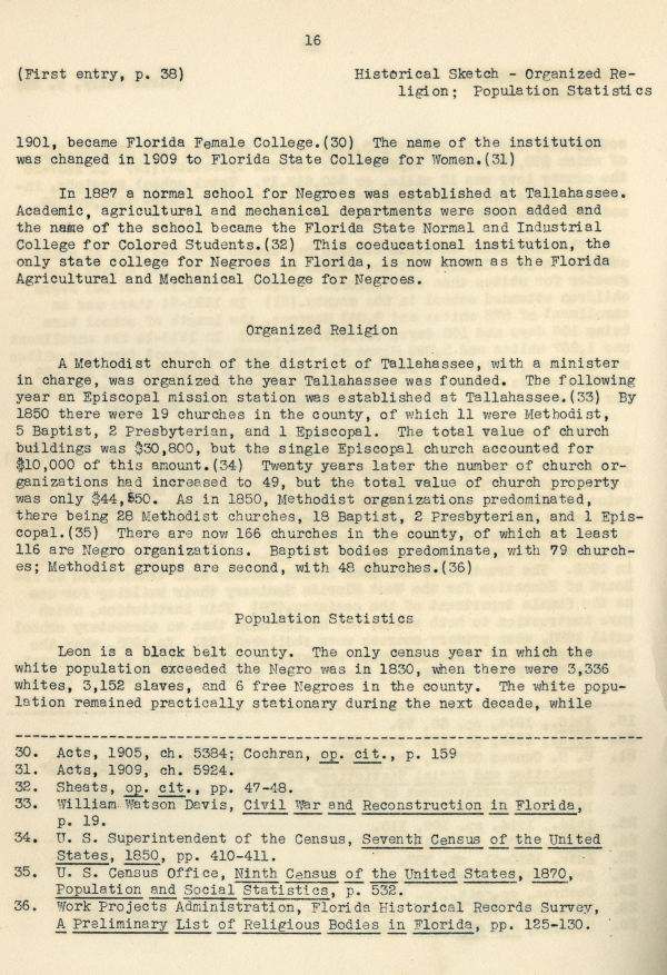
1901, became Florida Female College.(30) The name of the institution was changed in 1909 to Florida State College for Women.(31)
In 1887 a normal school for Negroes was established at Tallahassee. Academic, agricultural and mechanical departments were soon added and the name of the school became the Florida State Normal and Industrial College for Colored Students.(32) This coeducational institution, the only state college for Negroes in Florida, is now known as the Florida Agricultural and Mechanical College for Negroes.
Organized Religion
A Methodist church of the district of Tallahassee, with a minister in charge, was organized the year Tallahassee was founded. The following year an Episcopal mission station was established at Tallahassee.(33) By 1850 there were 19 churches in the county, of which 11 were Methodist, 5 Baptist, 2 Presbyterian, and 1 Episcopal. The total value of church buildings was $30,800, but the single Episcopal church accounted for $10,000 of this amount.(34) Twenty years later the number of church organizations had increased to 49, but the total value of church property was only $44,550. As in 1850, Methodist organizations predominated, there being 28 Methodist churches, 18 Baptist, 2 Presbyterian, and 1 Episcopal.(35) There are now 166 churches in the county, of which at least 116 are Negro organizations. Baptist bodies predominate, with 79 churches; Methodist groups are second, with 48 churches.(36)
Population Statistics
Leon is a black belt county. The only census year in which the white population exceeded the Negro was in 1830, when there were 3,336 whites, 3,152 slaves, and 6 free Negroes in the county. The white population remained practically stationary during the next decade, while
-------------------------------------------
30. Acts, 1905, ch. 5384; Cochran, op. cit., p. 159
31. Acts, 1909, ch. 5924.
32. Sheats, op. cit., pp. 47-48.
33. William Watson Davis, Civil War and Reconstruction in Florida, p. 19.
34. U. S. Superintendent of the Census, Seventh Census of the United States, 1850, pp. 410-411.
35. U. S. Census Office, Ninth Census of the United States, 1870, Population and Social Statistics, p. 532.
36. Work Projects Administration, Florida Historical Records Survey, A Preliminary List of Religious Bodies in Florida, pp. 125-130.
17
Governmental Organization and
Records System
(First entry, p. 38)
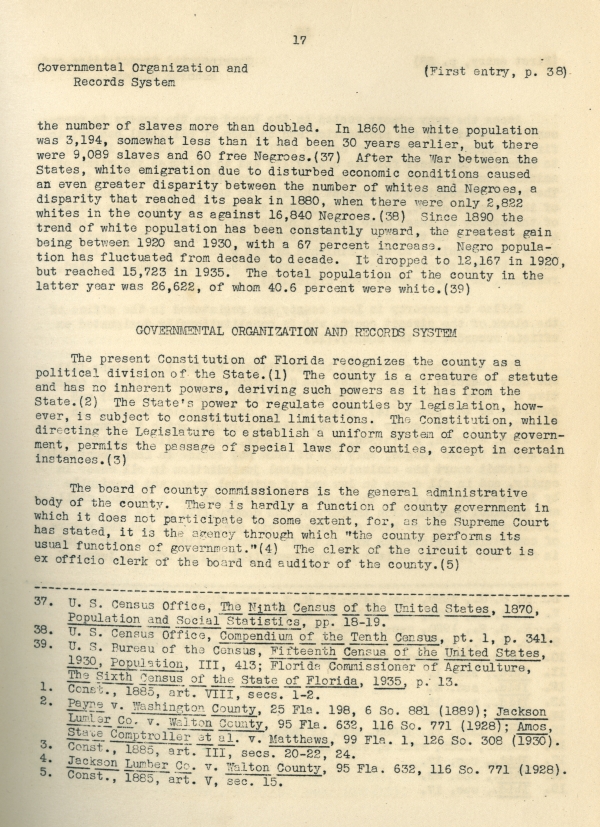
the number of slaves more than doubled. In 1860 the white population was 3,194, somewhat less than it had been 30 years earlier, but there were 9,089 slaves and 60 free Negroes.(37) After the War between the States, white emigration due to disturbed economic conditions caused an even greater disparity between the number of whites and Negroes, a disparity that reached its peak in 1880, when there were only 2,822 whites in the county as against 16,840 Negroes.(38) Since 1890 the trend of white population has been constantly upward, the greatest gain being between 1920 and 1930, with a 67 percent increase. Negro population has fluctuated from decade to decade. It dropped to 12,167 in 1920, but reached 15,723 in 1935. The total population of the county in the latter year was 26,622, of whom 40.6 percent were white.(39)
GOVERNMENTAL ORGANIZATION AND RECORDS SYSTEM
The present Constitution of Florida recognizes the county as a political division of the State.(1) The county is a creature of statute and has no inherent powers, deriving such powers as it has from the State.(2) The State’s power to regulate counties by legislation, however, is subject to constitutional limitations. The Constitution, while directing the Legislature to establish a uniform system of county government, permits the passage of special laws for counties, except in certain instances.(3)
The board of county commissioners is the general administrative body of the county. There is hardly a function of county government in which it does not participate to some extent, for, as the Supreme Court has stated, it is the agency through which “the county performs its usual functions of government.”(4) The clerk of the circuit court is ex officio clerk of the board and auditor of the county.(5)
-------------------------------------------
37. U. S. Census Office, The Ninth Census of the United States, 1870, Population and Social Statistics, pp. 18-19.
38. U. S. Census Office, Compendium of the Tenth Census, pt. 1, p. 341.
39. U. S. Bureau of the Census, Fifteenth Census of the United States, 1930, Population, III, 413; Florida Commissioner of Agriculture, The Sixth Census of the State of Florida, 1935, p. 13.
1. Const., 1885, art. VIII, secs. 1-2.
2. Payne v. Washington County, 25 Fla. 198, 6 So. 881 (1889); Jackson Lumber Co. v. Walton County, 95 Fla. 632, 116 So. 771 (1928); Amos, State Comptroller et al. v. Matthews, 99 Fla. 1, 126 So. 308 (1930).
3. Const., 1885, art. III, secs. 20-22, 24.
4. Jackson Lumber Co. v. Walton County, 95 Fla. 632, 116 So. 771 (1928).
5. Const., 1885, art. V, sec. 15.



 Listen: The Latin Program