Transcript
P.B. Land, Jr.
Baker Co. Notes
2/3/38
(p. 3)
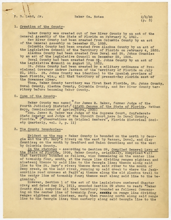
1. Creation of the County-
Baker County was created out of New River County by an act of the General Assembly of the State of Florida on February 8, 1861.
New River County had been created from Columbia County by an act of the General Assembly on December 21, 1858.
Columbia County had been created from Alachua County by an act of the Legislative Council of the Territory of Florida on February 4, 1832.
Alachua County had been created from Duval and St. Johns Counties by an act of the Legislative Council on December 29, 1824.
Duval County had been created from St. Johns County by an act of the Legislative Council on August 12, 1822. St. Johns County had been created by a military ordinance of Provisional Governor Andrew Jackson of the Territory of Florida on July 21, 1821. St. Johns County was identical to the Spanish province of East Florida, viz., all the territory of present-day Florida east of the Suwannee River.
Thus, Baker County territory was first East Florida, St. Johns County, Duval County, Alachua County, Columbia County, and New River County territory before becoming Baker County.
2. Name of the County-
Baker County was named "for James M. Baker, former Judge of the Fourth Judiciary District." (Sixth Census of the State of Florida, Nathan Mayo, Commissioner of Agriculture, 1935)
"Hon. James M. Baker was Judge of the Supreme Court, Confederate State Senator and Judge of the Circuit Court here in Duval County, Florida." ("Observatioins of Original Members", Florida Historical Society Quarterly, vol. 3, p. 11)
3. The County Boundaries-
Evident on the map - Baker County is bounded on the north by Georgia and the St. Mary's River; on the east by Nassau, Duval, and Clay Counties; on the south by Bradford and Union Counties; and on the west by Columbia County.
In the statutes - According to Section 29, Compiled General Laws of the State of Florida, 1906, Baker County, originally, comprised "all that territory bounded as follows, viz: Commencing on the center line of township four, south, at the range line dividing ranges eighteen and nineteen; thence by said line to the Georgia line; thence along said line to the St. Mary's river; thence down said river to the mouth of Deep creek, on the said river, running up said creek to where the Jacksonville road crosses at Pagit's; thence along the old Alachua trail to the center line of township four; thence west along said line to the beginning."
However, Section 1 of the act of the Legislature numbered Chapter 6244, and dated May 19, 1911, amended Section 29 above to read: "Baker County shall comprise all that territory bounded as follows: Commencing on the center line of township four, on range line dividing ranges eighteen and nineteen, east; then running north along said range line to the Georgia line; then easterly along said Georgia line to the
P. B. Land, Jr.
Baker Co. Notes
2/3/38
(p. 4)
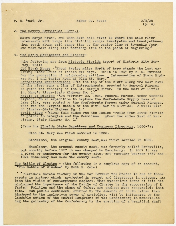
3. The County Boundaries (Cont.)-
St. Marys river, and then down said river to where the said river intersects with range line dividing ranges twenty-two and twenty-three; then south along said range line to the center line of township four; and then west along said township line to the point of beginning."
4. The Early Settlement and History-
(the following are from Historic Florida Report of Historic Site Survey, WPA):
Old Block House - "About twelve miles North of here stands the last existing Block House of Indian War days. Built in 1837 by B. R. Burnsed for the protection of neighboring settlers. Intersection of State Highway No. 1 and Taylor Road at Glen St. Mary."
Confederate Entrenchments - "At the top of the Bluff along the West bank of the river runs a line of Entrenchments, erected by General Finegan to guard the crossing of the St. Mary's River. To the West of Little St. Mary's River-State Highway No. 1."
Battle of Olustee - "On February 20, 1864, Federal Forces, under General Seymour, on an expedition to capture the Confederate Supply Base at Lake City, were routed by the Confederate Forces under General Finegan. This was the largest battle of the Civil War in Florida. 3 miles East of Olustee-State Highway No. 1." Trail Ridge - "Along this Ridge ran the Indian Trails from South Florida to points in Georgia and the Carolinas. About two miles East of Macclenny, State Highway No. 1."
(from the Florida State Gazetteer and Business Directory, 1886-7):
Glen St. Mary was first settled in 1883.
Sanderson, the original county seat, was first settled in 1859.
Macclenny, the present county seat, was formerly called Darbyville, but shortly before 1887 it was changed to Macclenny. In 1887 it was a rival of Sanderson for the county site, and sometime between 1887 and 1895 Macclenny was made the county seat.
The Battle of Olustee - (the following is a complete copy of an account, "The Battle of Olustee" by Ruth H. Cole)
"Florida's heroic victory in the War Between the States is one of those events in history which, projected in secret and disastrous in outcome, has been the victim of contemptuous neglect. What mysterious force of fate has minimized the importance of the Battle of Olustee by the suppression of facts? Politics and the shame of defeat are perhaps more responsible than fate. But public sentiment, stirrred by the demands of truth rather than hindered by the inglorious power of prejudice, will be influenced by the laudable action of the United Daughters of the Confederacy in memorializing the gallantry of the Confederacy by the erection of a beautiful shaft
P. B. Land, Jr.
Baker County Notes
2/3/28
(p. 5)
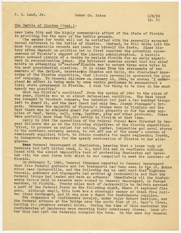
The Battle of Olustee (Cont.)-
near Lake City and the highly commendable effort of the State of Florida in providing for the care of the battle grounds.
The seeker for truth will not be satisfied with the generally accepted casual reference to the Battle of Olustee. Instead, he will delve into the none too accessible records and learn for himself the facts. Since history often depends on politics let us first consider the potential consequences of Florida's support of the Lincoln administration. A hostile press accused Lincoln of a desire to reclaim Florida for an early experiment in reconstruction ideas. His bitterest enemies avowed that his chief motive in attemptinng to 'restore' Florida was to secure three more votes in the next presendential election. It is clear from the statements of two members of the Cabinet, Secretaries Stanton and Wells, who disclaimed knowledge of the Florida expedition, that Lincoln personally sponsored the plan and campaign. To General Gillmore on January 13, 1864, he wrote: 'I understand an effort is being made by some worthy gentlemen to reconstruct a loyal state government in Florida. I wish the thing to be done in the most speedy way possible.'
What was Florida's condition? From the spring of 1864 to the close of the year, Florida was in an almost defenseless condition. The West Coast was ravaged by blockade runners, the interior had just a few hundred troops left to guard it, and the East Coast had only Gen. Joseph Finnegan's Brigade. Because the majority of Florida's troops were in Virginia and the West there was no adequate guard for public property or for the army supplies of beef, bacon, salt, corn, leather, pine and other products. There were probably more than 700,000 cattle in Florida at that time.
Early in 1864 the operations of the Federal forces were directed by General Gillmore who gave the following objectives of the Florida expedition: 'First, to procure an outlet for cotton, lumber, turpentine and naval stores to the northern centers; second, to cut off one of the enemy's sources of commissary supplies; third, to obtain recruits for negro regiments; fourth, to inaugurate measrues for the speedy restoration of Florida to her allegiance.
General Beauregard at Charleston, hearing that a large body of Federals had left Hilton Head, S.C., held his men in readiness although faced with the almost impossible task of protecting Charleston and Savannah with the same force with which he was compelled to meet the invaders of Florida.
On February 7, 1864, General Finnegan reported to General Beauregard that five Federal gunboats and two transports had been seen in the St. Johns river near Jacksonville, and the following day he sent word that 'Eighteen vessels, gunboats and transports had arrived at Jacksonville and that the Federal troops had landed and made an advance.' Immediately all the Confederate troops held in reserve were rushed by General Beauregard, in forced marches, to Florida. Twenty miles west of Jacksonville to Baldwin marched a part of the Federal force on the following night, where it captured five guns. Although small, this town was a strategic center at which five railway lines converged, and it was also a depot for Confederate supplies.
Two companies of Confederate cavalry, under Major Robert Harrison, met the Federal advance at the bridge over the south fork of St. Mary's River, halting its progress several hours. During the time of this encounter the Confederates at Sanderson were removing their commissary stores. Soon after they had left the Federals occupied the town. On the same day General
P. B. Land, Jr.
Baker Co.Notes
2/3/38
(p. 6)
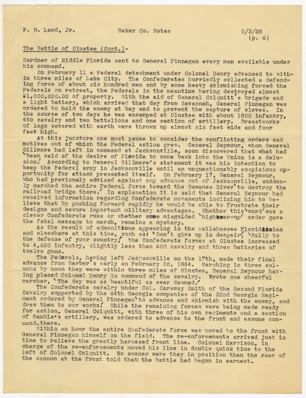
The Battle of Olustee (Cont.)-
Gardner of Middle Florida sent to General Finnegan every man available under his command.
On February 11 at Federal detachment under Colonel Henry advanced to within three miles of Lake City. The Confederates hurriedly collected a defending force of about six hundred men and by some heavy skirmishing forced the Federals [to] retreat, the Federals in the meantime having destroyed almost $1,000,000.00 of property. With the aid of General Colquitt's brigade and a light battery, which arrived that day from Savannah, General Finnegan was ordered to hold the enemy at bay and to prevent the capture of slaves. In the course of two days he was encamped at Olustee with about 1800 infantry, 450 cavalry and two battalions and one section of artillery. Breastworks of logs covered with earth were thrown up almost six feet wide and four feet high.
At this junture one must pause to consider the conflicting orders and motives out of which the Federal action grew. General Seymour, whom General Gillmore had left in command at Jacksonville, soon discovered that what had 'been said of the desire of Florida to come back into the Union is a delusion.' According to General Gillmore's statement it was his intention to keep the Federal army in Jacksonville until an unquestionably auspicious opportunity for attack presented itself. On February 17, General Seymour, who had previously advised against any advance out of Jacksonville, suddenly marched the entire Federal force toward the Suwanee River 'to destroy the railroad bridge there.' In explanation it is said that General Seymour had received information regarding Confederate movements inclining him to believe that by pushing forward rapidly he would be able to frustrate their designs and secure important military advantages. Whether this 'word' was a clever Confederate ruse or whether some misguided 'higher-up' order gave the fatal message to march, remains a mystery.
As the result of admonitions appearing in the Tallahassee Floridian and elsewhere at this time, such as: 'Don't give up in despair', 'Rally to the defense of your country', the Confederate forces at Olustee increased to 4,600 infantry, slightly less than 600 calvary and three batteries of twelve guns.
The Federals, having left Jacksonville on the 17th, made their final advance from Barber's early on February 20, 1864. Marching in three columns by noon they were withing three miles of Olustee, General Seymour having placed Colonel Henry in command of the cavalry. Wrote one cheerful marcher, 'The day was as beautiful as ever dawned.'
The Confederate cavalry under Col. Caraway Smith of the Second Florida Cavalry supported by the 64th Georgia companies of the 32nd Georgia Regiment ordered by General Finnegan 'to advance and skirmish with the enemy, and draw them to our works'. While the remaining forces were being made ready for action, General Colquitt, with three of his own regiments and a section of Gamble's artillery, was ordered to advance to the front and assume command. [sic] there.
Within an hour the entire Confederate force was moved to the front with General Finnegan himself on the field. The re-enforcements arrived just in time to relieve the greatly harassed front line. Colonel Harrison, in charge of the re-enforcements moved his line in double quick time to the left of Colonel Colquitt. No sooner were they in position than the roar of the cannon at the front told that the battle had begun in earnest.
P. B. Land, Jr.
Baker Co. Notes
2/3/38
(p. 7)
The Battle of Olustee (Cont.)-
'The invading army was in heavy force. Its infantry was drawn up in three supporting lines, with the artillery in pos[i]tion and cavalry on the flank and rear.' The Confederates poured upon them a destructive fire. A New Hampshire regiment, finding this fire too heavy, broke and retreated in confusion. It was followed by a negro regiment whose colonel and major had been killed. Since one-third of the Federal force were negroes, the disintegration of this regiment demoralized the morale of the entire negro force. The Federals re-formed and for about twenty minutes held their position, but were finally forced to give way.
With almost victory within their grasp the men in gray were now cruelly tested when the ammunition gave out. General Colquitt's command, 'Let the men hold their ground and ammunition will reach them, was courageously obeyed and with unusual coolness the men stood their ground for tweny apparently endless minutes under the devastating fire until ammunition was received.
The fiery re-opening of the attck by the Confederates forced the Federals to retreat, though they continued firing. Then, from the camp came the First Florida Battalion under Lieutenant Colonel Hopkins and Guerard's Battery, the former being sent to the support of the gallant 64th Georgia Regiment, whose ammunition was fast giving out. The arrival of these reenforcements threw the enemy into a panic. With the approach of nightfall, after four and one-half hours of furious fighting, being hard pressed by the Confederates, the Federal invaders fled to Jacksonville. Despite these facts there exists appalling ignorance and incredible misinformation about the Battle of Olustee. A partial explanation will be found in a contemporaneous report contained in the New York Times of March 1, 1864, whose statements, as inaccurate as positive, declare that the Confederates outnumbered the Federals three to one.
The following estimate of the Battle from General Gillmore, himself, unquestionably disproves this and other false statements: 'We know since the close of the war that there was no disparity in numbers and we knew at the time that the results were a decisive defeat upon the field of battle and the frustration--as well by the loss of men as by the loss of prestige--of a carefully digested plan of campaign. General Finnegan had only 5,000 men in that battle. General Seymour, 5,500.' Authentic records indicate that the Federals numbered 6,000.
Nearly 2,000 Federals were killed, wounded or missing, while the Confederates lost 940 killed and wounded. Nearly two hundred prisoners were sent to Savannah and five field guns, 1600 small arms, 400 sets of accoutrements and 130,000 rounds of small arms ammunition were taken.
The Battle of Olustee completely shattered General Gillmore's hope of separating Florida from the Confederacy. Also, Florida, though young and comparatively weak, proved her valiant fighting ability. In proportion to her population, Florida furnished more troops to the Confederacy than any other state. By a vote of thanks for his supreme generalship, the Confederate States Congress recognized General Joseph Finnegan--Florida's most distinguished soldier.
A fragment from the recollections of a boy who fought at Olustee very vividly describes the scene of battle and the genuine love of the Old South that was burning within the hearts and souls of each of the gray-clad he-
P. B. Land, Jr.
Baker Co. Notes
2/3/38
(p. 8)
The Battle of Olustee (Cont.)-
roes: 'Our cannon are speaking slowly. Ammunition is nearly out....Now the reserve is coming up on the run, their yell ringing through the pine woods. As they fell into the line of battle I hear the ring of the rifles. I see the blue line wavering. Ah, I feel exultation. The enemy is retreating--retreating before the brave fellows who wear the tattered gray; and I smile to see the bullet scarred battle flags of my country floating triumphantly in the pine scented air of my native land.'
It is Florida's sacred duty to keep alive the memory of the bravery displayed at Olustee and to correct the neglect that has so far clouded the truth. Furthermore, this generation must see that history faithfully records as an important battle in the War Between the States this significant military achievement of Florida--The Battle of Olustee."
Boundary Dispute with Georgia- (from "Florida Against Georgia, A Story of the Boundary Dispute" by Judge Fred. Cubberly, Florida Historical Society Quarterly, vol 3, Oct., 1924, pp. 20 ff.)
"It is not generally known that for many years boundary line questions existed between Florida and Georgia. Before the creation of Florida as a State, this question had been a subject of negotiation between the State of Florida and the United States.
The year 17?5 marks the beginning of this boundary line question, for in that year the treaty of San Lorenzo was negotiated by Mr. Pinckney, our minister to Spain, and the Duke of Alcadia respresenting the Crown of Spain. Subsequent to the Revolution of American Colonies, Spain acquired East and West Florida from Great Britain; but the limits of the Florida provinces were not definitely located and Spain was claiming territory that was also claimed by Georgia.
By the Treaty of San Lorenzo the boundary between the United States and Spanish provinces was to be ascertained by a commission composed of two members, each Government selecting a Commissioner. Andrew Ellicott, a noted surveyor and engineer, a friend of Thomas Jefferson, was selected as the representative of the United States, and Captain Esteven Minor was designated the Commissioner on the part of Spain.
The Treaty provided that the Commissioners should begin on the east back of the Mississippi on the northern limit of the 31st parallel of latitude, and run thence east to the Chattahoochee River, thence down the middle of that river to its junction with the Flint River, and from this point the line was to run to the head of the St. Marys River, thence down the St. Marys to the Atlantic Ocean.
The appointment of Ellicott as Commissioner and Thomas Freeman as surveyor to accompany him, was made in May, 1796; but the work was not completed until the year of 1800. It appears from the journal of Ellicott that he proceeded from Philadelphia to the Ohio and on down the Mississippi to a point below Natchez, where he was joined by the Spanish Commissxioner [sic]. The Commissioners proceeded to locate the northmost limit of the 31st parallel of latitude and the line was carefully and accurately run east to the Chattahoochee. This task was done after many difficulties and in the face of apparent reluctance and many obstructive tactics on the part of the Spanish
P. B. Land, Jr.
Baker Co. Notes
2/3/38
(p. 9)
Boundary Dispute (Cont.)-
Commissioner.
Proceeding down the Chattahoochee to the mouth of the Flint preparations were made to run the line from that point to the St. Marys, but it was found that the country was in the possession of the Creek Indians, who refused to permit of further progress of the survey.
Ellicott and Minor then procured boats and began a long journey beset by many difficulties down the river to the Gulf and around the coast of Florida to the mouth of the St. Marys.....
Arriving at the St. Marys the Commissioners procured canoes and ascended the river to the neighborhood of the Okefenokee Swamp. They found several branches of the St. Marys and after some discussion finally agreed upon a point which should be the terminus of the line and here they erected a mound which is known as Ellicott's Mound. Having previously ascertained the latitude and longitude of the junction of the Chattahoochee and the Flint, the Commissioners now determined the latitude and the longitude of Ellicott's Mound and calculated the course of a line to be run between the two points and stipulated that this line when run should be the boundary.
. . . . . . .
It was not until after the cession of the Florida provinces to the United States that any question arose as to the unmarked boundary between the Flint and St. Marys. About the year 1822, the United States authorities began the survey of the public lands in the recently acquired Florida and it become necessary to determine a line actually run and marked, the boundary line that was not run by Ellicott and Minor. A point was selected at Tallahassee through which point a line running due north and sourth known as the Tallahassee or principal meridian was established and through the same point a line due east and west known as the base line was established.
The Surveyor General of the United States in charge of the surveys found it necessary to have the boundary line between the mouth of the Flint and Ellicott's Mound marked so that the land surveys of Florida could be continued northward towards the State of Georgia and he caused a line to be run by a surveyor named McNeil and this line has been known as McNeil's Line.
As early as 1819 the Georgia authorities had raised the question that Ellicott's Mound was not at the true head of the St. Marys River, and as it had been reported that the Federal authorities were about to run the line in accordance with the Ellicott report, the General Assembly of Georgia requested the Governor to appoint Commissioners to proceed without delay to ascertain the true head of the St. Marys River and make a special report to the Governor, who was in turn, to communicate the same to the President of the United States, and the Governor was further ordred to order out a suitable detachment of militia to protect the commissioners in the performance of their duty, Governor Raburn of Georgia appointed Generals Floyd, Blackshear and Thompson to make this investigation.... . . . . . . . . .
The Commissioners appointed by the Governor of Georgia made an exploration of the country...and they also employed a surveyor by the name of McBride..... The Commissioners finally reported to the Governor....that Ellicott was correct. Georgia in the meantime had employed J. C. Watson to survey, run and mark [the line]; but Watson's line ended considerably south of Ellicott's
P. B. Land, Jr.
Baker Co. Notes
2/3/38
(p. 10)
Boundary Dispute (Cont.)-
Mound,....The State of Georgia claimed and laid out counties and surveyed its public lands to the Watson line."
An attempt in May 1826 by the United States to run and mark a line as a true boundary was withdrawn from by Georgia as that state considered the investigation of the source of the St. Marys as unsatisfactory.
In 1830 the governor of Georgia again appointed his own commission to investigate the St. Marys River question. In May and June the commissioners examined the north, west and south prongs of the St. Marys River and decided the head of the river was Ocean Pond, near what is now Olustee. This contention, if allowed, would have taken an area of 2,335 square miles from Florida. It was not recognized by the United States.
In 1845, the year Florida was made a state, efforts by the two governors to effect a settlement failed again.
In 1857, however, the governors came to an agreement, Georgia relinquishing her claim and agreeing on Ellicott's Mound as the eastern terminus of the disputed line. Whitner of Florida and Orr of Geogia ran the line [which was] finally ratified as the true boundary by Congress on April 9, 1872, thus ending the controversy that had begun in 1819, the date of the purchase of Florida by the United States from Spain.
Miscellaneous-
"Baker is in the northern tier of counties and second from the Atlantic coast, having Duval County on the east. The historic St. Mary's River takes a loophole in its northeastern territory, and passes across some of its northern sections into Georgia. Its branches are the chief drainage streams in the county. The great Okeefenokee swamp also pushes down from Georgia into the northern part of the city." (from Cutler, vol. 1, p. 590)
County officers in 1886-7: T. B. Smith, county judge; F. J. Pons, Sr., clerk; J. W. Vanbuskirk, sheriff; Jas. W. Burnsed, collector of revenue; Wm. Lessene, superintendent of schools; county commissioners,-J. C. Williams, Sanderson; Wm. Jennings, Sanderson; J. M. Thompson, Macclenny; W. J. Thompson, Snaderson; and Cooper Dyess, Olustee. (from Florida State Gazetteer)
(from Ch. 1185, Feb. 8, 1861, act creating Baker County)
Section 2. That is shall be the duty of the Judge of Probate of New River County, with in twenty days after the passage of this act, to issue notices of an election for a Judge of Probate, a Clerk, Sheriff, Tax Collector and four Commissioners for said county of Baker (who shall hold their offices for the residue of the term for which other similar officers in this State were elected, and until their successors are elected and qualified), which election shall be held not more than thirty nor less than twenty days after the date of said notices. Section 3. That the county site of said County shall be fixed at Sanderson until otherwise provided by law, and the Commissioners chosen shall be authorized to provide suitable county buildings.



 Listen: The Gospel Program