Florida Memory is administered by the Florida Department of State, Division of Library and Information Services, Bureau of Archives and Records Management. The digitized records on Florida Memory come from the collections of the State Archives of Florida and the special collections of the State Library of Florida.

State Archives of Florida
- ArchivesFlorida.com
- State Archives Online Catalog
- ArchivesFlorida.com
- ArchivesFlorida.com
State Library of Florida
Related Sites
Florida Maps: Then & Now
Florida Maps: Then & Now is an animated map series from the State Library and Archives of Florida. The project uses Google Earth to create animated videos using historic and modern maps, photographs, and primary source documents from our collections.
Ft. Lauderdale
Transcript
Welcome to Florida Maps: Then & Now, an animated map series from the State Archives of Florida. This episode highlights historic maps of Fort Lauderdale.
Lounging green Iguanas, discarded pets imported from another land, bake in the sun, contrasting against the white limestone rocks along the New River in modern downtown Fort Lauderdale. This map, from the confirmed Spanish Land Grant of Lewis Frankee, shows the area at a much earlier time, when the winding river was frequented only intermittently by Seminole Indians and shipwreck victims.
William Cooley was one of the first American settlers to arrive in the area after Florida became a territory of the United States in 1821. He served as the local Justice of the Peace, established a farm, and operated a trading post along the river that came to be known as Cooley Hammock. Several members of Cooley’s family were victims of the violence that marked the outbreak of the Second Seminole War. On January 4, 1836, Seminole and black warriors attacked the Cooley family, killing his wife and children. The attack reportedly came as a result of Cooley’s inability to bring to justice white settlers that murdered a prominent Seminole leader.
Later in the war, the United States Army built a fort on the site and named it Fort Lauderdale. Seminole families took up residence near Cooley Hammock following the end of the Seminole Wars. Among the first white settlers to arrive in the area after the Seminole Wars was Frank Stranahan. He established a trading post on the New River and traded with the Seminoles. Seminole families visited Stranahan’s store to trade animal hides for goods they could not produce themselves, such as firearms, ammunition, cloth, and metal pots.
The arrival of Henry Flagler’s railroad in the late 1890s set the course for the rapid development of the area in the early 20th century. In the 1920s, work began on nearby Port Everglades. Engineers dug an entrance channel that opened the New River to large, oceangoing vessels. Today, the port welcomes cruise ships and commercial freighters from around the world. Several historic structures remain intact today in downtown Fort Lauderdale, including the New River Inn, built by Philemon Bryan and Edward T. King in 1905, and the Stranahan House, built in 1901 to replace the original trading post.
For more information about historic maps and other resources from the State Archives of Florida, visit FloridaMemory.com. In addition, Google Earth Maps from this series are available for download.
Bibliography
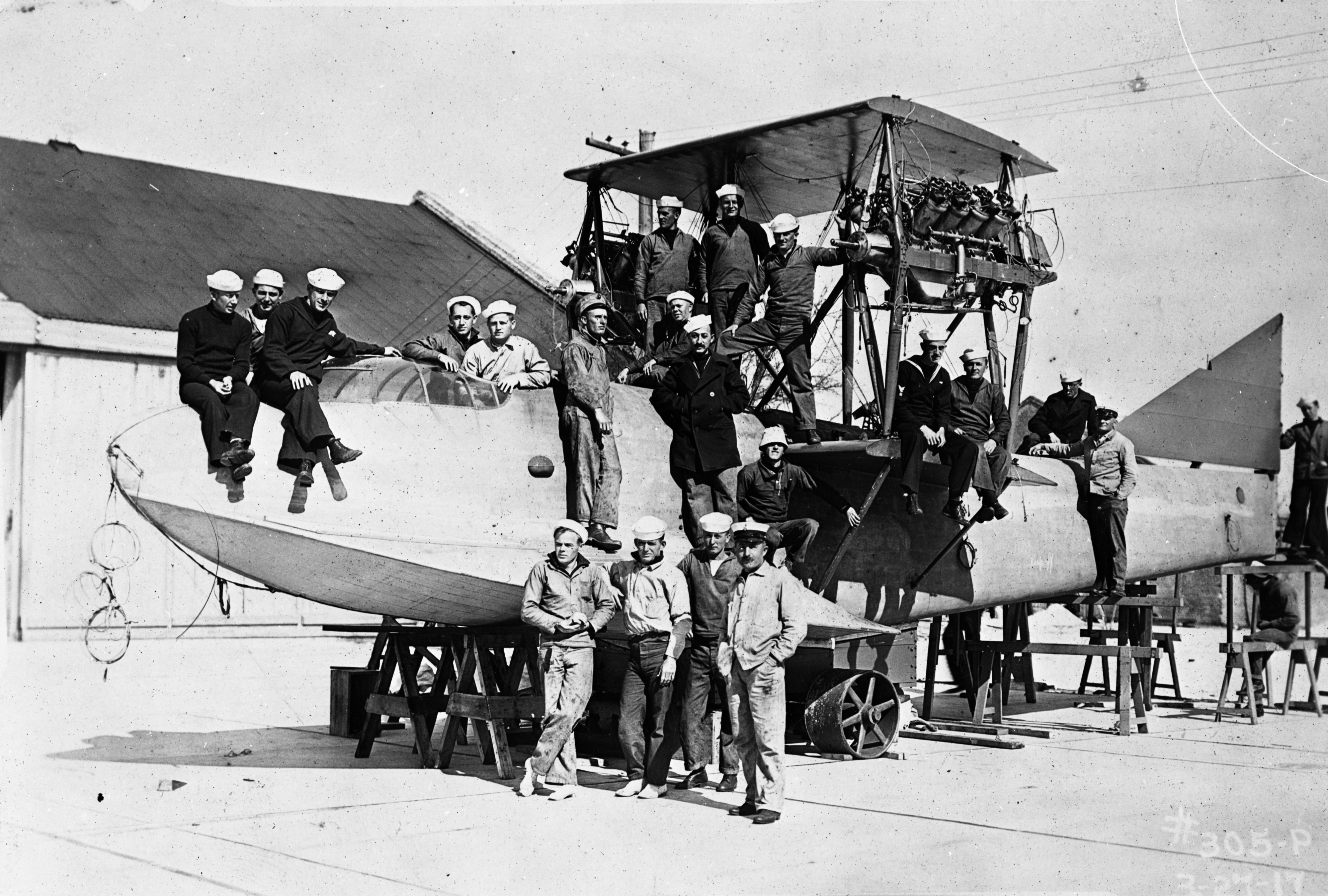
All photographic images reside in the Florida Photographic Collection, State Archives of Florida, Tallahassee: COM08583; N030848; N032163; N032178; PR75795.
Confirmed Land Grant of Lewis Frankee. Series 991: Confirmed Spanish Land Grant Claims, 1763-1821, box 21, folder 15. State Archives of Florida, Tallahassee.
Township 50 S, Range 42 E. Series 617: United States, General Land Office – Florida District. Township Survey Plats, 1823-1933. State Archives of Florida, Tallahassee
Google Earth Files
The map layers associated with this video are available for download in the KMZ file format. Download Ft_Lauderdale.kmz (37MB). This file format requires the free Google Earth software.
For more information about available Florida Maps: Then and Now in the KMZ format and for help using Google Earth visit our Google Earth page.
Features
Territorial Legislative Council Records, 1822-1845
Documenting Florida's legislature prior to statehood
State and County Officer Directories, 1868-1969
Lists of Florida's state and county officials either elected or appointed between 1868 and 1969.
Guide to Military Records and the Wartime Experience
A guide to government records and manuscript collections relating to service members and the wartime experience.
Dust Tracks
21 tracks from Hurston's time documenting African American culture for the WPA in 1930s Florida.
History Day 2025
Resources for Florida History Day from the State Library and Archives of Florida.